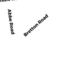
0 BRETTON RD
Owner Information
SINISCALCHI STEVEN P + LAURA S
7 ABBE ROAD
DOVER, MA 02030


Property Details
0 BRETTON RD is classified as a Undevelopable Residential Land.
0 BRETTON RD is valued at $45,600. The land is valued at $45,600 and the structures are valued at $0.
The most recent deed for 0 BRETTON RD is recorded at the local registrar in Book 622, Page 111. 0 BRETTON RD was last sold on Wednesday, August 13, 1986 for $25,000.
Assessment data from fiscal year 2022.
Flood Data
According to the FEMA National Flood Hazard Layer, this property does not appear to be in a flood zone. It may also be in an area not yet reviewed. Nonetheless, confirm this information prior to taking any action.
To view the flood hazards around this property, create a FEMA "Firmette" Map of the area around 0 BRETTON RD.
Broadband Internet Providers
| Provider | Type | Bandwidth (mbps) | |
|---|---|---|---|
| Verizon New England Inc. | Fiber | 940 | 880 |
| VSAT Systems, LLC. | Satellite | 2 | 1 |
| HughesNet | Satellite | 25 | 3 |
| GCI Communication Corp. | Satellite | 0 | 0 |
| Viasat Inc | Satellite | 100 | 3 |
| T-Mobile | Fixed Wireless | 25 | 3 |
| Comcast | Cable | 1000 | 35 |
| Verizon New England Inc. | DSL | 5 | 0 |
Broadband service provider data from December 2020.
Adjacent Properties
- 0 WILSON`S WAY
Undevelopable Residential Land owned by BISSON STEPHEN W - 0 PICARDY LN
Land - integral part of manufacturing operation owned by COLONIAL WATER COMPANY - 0 PICARDY LN
Undevelopable Residential Land owned by DOMINIC JOHN J + ADELIA A TRS - 7 ABBE RD
Single Family Residential owned by SINISCALCHI STEVEN P + LAURA S